National Weather Service Text Product
Displaying AFOS PIL: SPSDMX
Product Timestamp: 2026-10-29 00:24 UTC
Bulk Download Help
This bulk download tool provides the NWS text
in a raw form, hopefully directly usable by your processing system.
You can either provide a complete 6-character PIL/AFOS ID or provide
the 3-character base ID (e.g., AFD). The start and end
dates represent 00 UTC for those dates. The Zip format is useful as
the filenames will have the product timestamp, which is useful for
when the product format has ambiguous timestamps.
374
WWUS83 KDMX 290024
SPSDMX

Special Weather Statement
National Weather Service Des Moines IA
724 PM CDT Wed Oct 28 2026

IAZ035-036-046-047-290100-
Hamilton IA-Boone IA-Greene IA-Webster IA-
724 PM CDT Wed Oct 28 2026

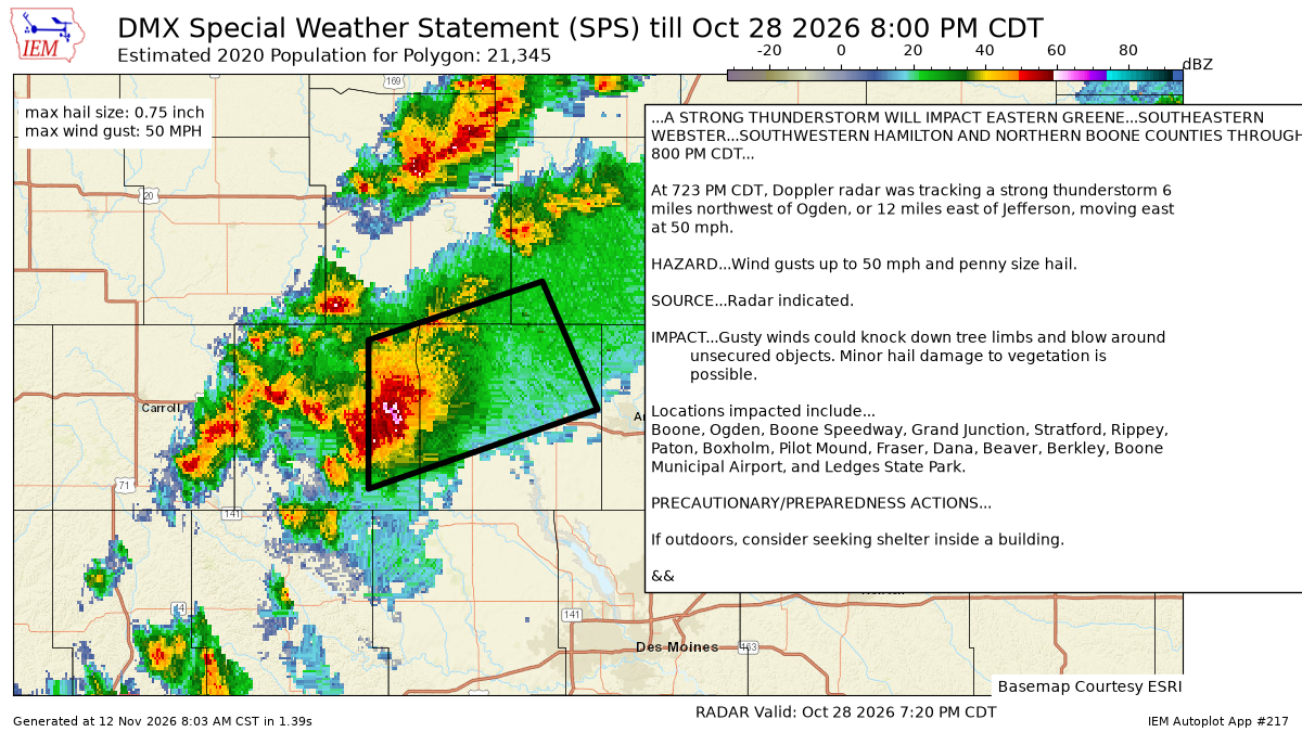
...A STRONG THUNDERSTORM WILL IMPACT EASTERN GREENE...SOUTHEASTERN
WEBSTER...SOUTHWESTERN HAMILTON AND NORTHERN BOONE COUNTIES THROUGH
800 PM CDT...

At 723 PM CDT, Doppler radar was tracking a strong thunderstorm 6
miles northwest of Ogden, or 12 miles east of Jefferson, moving east
at 50 mph.

HAZARD...Wind gusts up to 50 mph and penny size hail.

SOURCE...Radar indicated.

IMPACT...Gusty winds could knock down tree limbs and blow around
         unsecured objects. Minor hail damage to vegetation is
         possible.

Locations impacted include...
Boone, Ogden, Boone Speedway, Grand Junction, Stratford, Rippey,
Paton, Boxholm, Pilot Mound, Fraser, Dana, Beaver, Berkley, Boone
Municipal Airport, and Ledges State Park.

PRECAUTIONARY/PREPAREDNESS ACTIONS...

If outdoors, consider seeking shelter inside a building.

&&

LAT...LON 4190 9429 4218 9429 4229 9385 4205 9371
TIME...MOT...LOC 0023Z 248DEG 41KT 4208 9414

MAX HAIL SIZE...0.75 IN
MAX WIND GUST...50 MPH

$$

Bury
Autoplot 217 generated the following image below. You may find more customization options , like removal of RADAR, for this image by visiting that autoplot.
