The Iowa Environmental Mesonet (IEM) collects environmental data from cooperating members with observing networks. The data are stored and made available on this website.
September Precipitable Water
Posted: 18 Sep 2026 05:30 AM, Views: 409The featured chart is perhaps "Exhibit A" as to why Iowa continues to see heavy rainfall events this September. The chart shows average precipitable water during the month of September based on evening soundings from the Omaha area. This value represents the amount of water within the atmosphere and is expressed by a depth (plotted in millimeters). You can sort of think of the value as the amount of rain that would fall if all of the water was squeezed out of the atmosphere. While the 2026 value still has two weeks of time to pull the average lower, the plotted value is well beyond any previous September on record for the site. Storms that develop within an atmosphere loaded with water vapor are able to efficiently produce rainfall due to limited dry air and typically warmer cloud depths. Multiple rounds of such storms are expected on Friday and into the weekend.
Rate Feature
Previous Years' Features
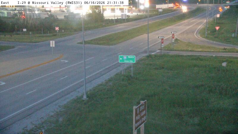
Missouri Valley (I-29), IA Webcam:
Most Popular (List Apps)
5 Sep NWS Data Outage
Posted: 5 Sep 2:03 PM
4 Sep ISU Network Issue [resolved]
Posted: 4 Sep 11:03 AM
12 Aug Service Degradation [resolved]
Posted: 12 Aug 6:13 AM
MRMS Archive Downsizing
Posted: 9 Aug 4:15 PM
26-27 July 2026 Record Dew Points
Posted: 27 Jul 8:08 PM
Sign up for the Daily Bulletin
Current Website Performance:
Bandwidth: 69.6 MB/s
Total Website: 4,523 req/s
API/Data Services: 176.5 req/s
API Success: 100%
Soil Temperatures
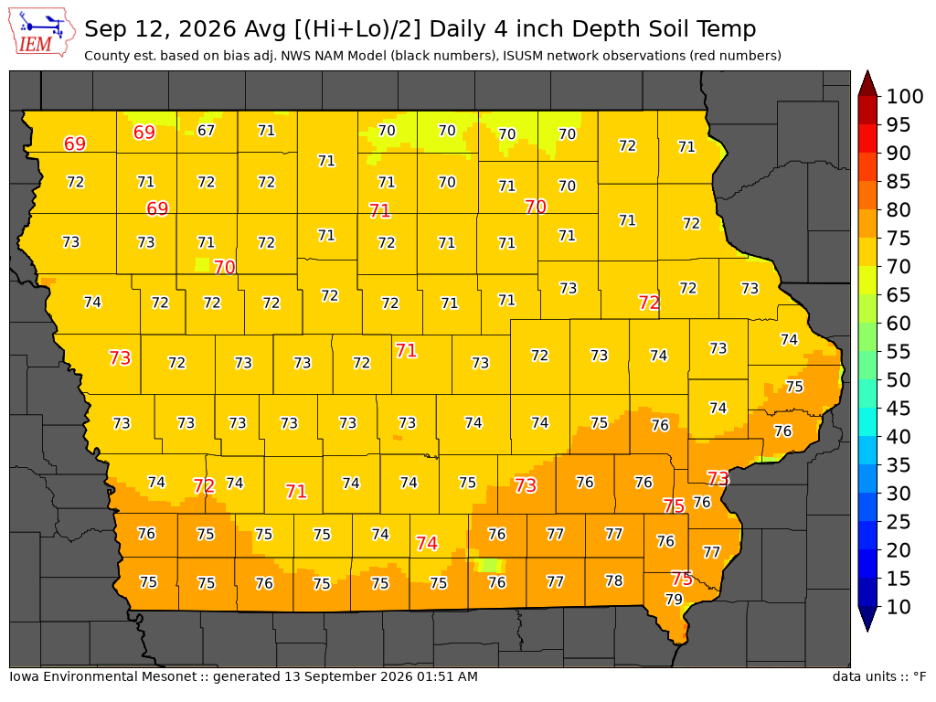
Data from the Iowa State Soil Moisture Network is found on this website and daily soil temperature averages are used to produce the highlighted analysis.