The Iowa Environmental Mesonet (IEM) collects environmental data from cooperating members with observing networks. The data are stored and made available on this website.

IEM Daily Feature

Yet Another Deluge of Rain

Posted: 21 Jul 2026 05:22 AM, Views: 1005
Tags:   jul26  
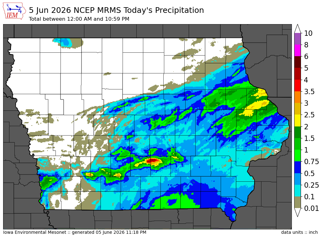
The area between Ames and Des Moines has had quite the July for heavy rainfall events. After an event on 2-3 July brought upwards of ten inches just northeast of Des Moines, another deluge of rain fell Monday evening (20 July) with roughly the same area targeted with the highest amounts. The featured map presents the combination of MRMS 24 hour precipitation estimates ending Tuesday morning with available NWS Local Storm Reports, COOP observations, and CoCoRaHS reports. The map will be updated later on Tuesday after more morning reports are received. While totals with this event were much lower than the one earlier this month, values over four inches are still rather exceptional and even more exceptional to have two such events over the same location during one year.
Feature
Rate Feature

Previous Years' Features
De Witt (US 30/US 61), IA Webcam:
News Items  

ISU Network Outage [resolved]
Posted: 12 May 11:06 PM

1 April IEM Outage [resolved]
Posted: 2 Apr 10:55 AM

Tracking TAF Amendments
Posted: 13 Feb 10:28 AM

IEM Archival Update
Posted: 24 Sep 11:07 PM

TAF Archive Fixes
Posted: 22 Aug 7:28 AM

Sign up for the Daily Bulletin

Current Website Performance:
Bandwidth: 63.3 MB/s
Total Website: 2,486 req/s
API/Data Services: 141.8 req/s
API Success: 100%

Soil Temperatures

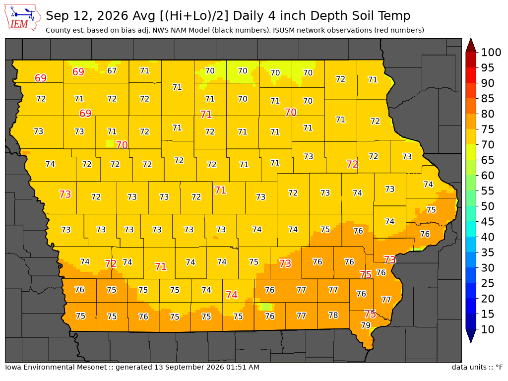
Data from the Iowa State Soil Moisture Network is found on this website and daily soil temperature averages are used to produce the highlighted analysis.
Current Data
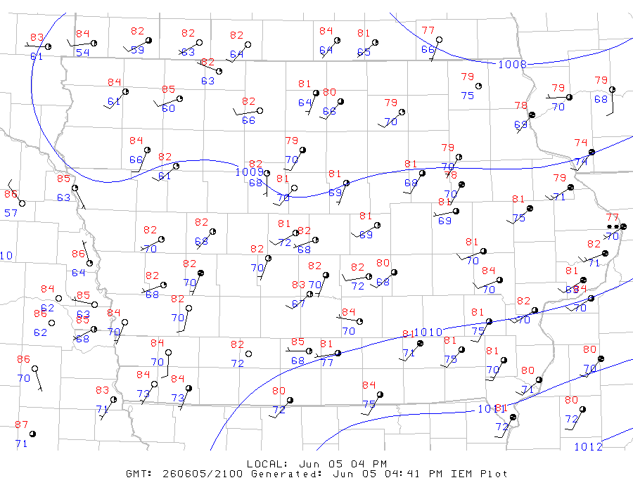
The IEM combines data from participating networks into products like maps shown above and web applications to analyze the data.

More current products »