The Iowa Environmental Mesonet (IEM) collects environmental data from cooperating members with observing networks. The data are stored and made available on this website.

IEM Daily Feature

Day 2 ERO Moderate Risk

Posted: 14 Aug 2026 05:30 AM, Views: 1177
Tags:   ero  
The parade of thunderstorm complexes looks to continue on Friday and into the weekend. On Thursday, the Weather Prediction Center (WPC) issued a rare, for Iowa, Day 2 "moderate risk" of excessive rainfall for Friday into Saturday morning. The featured map presents the number of such issued risks since the start of the available archive during late 2015. Most of Iowa is shown having less than five such events over this period. Today's moderate risk was issued for southeastern Iowa, which has only slightly few more events on record. The IEM attempts to curate a downloadable archive of these outlooks and also has a simple search tool to find outlook events by a point location.
Rate Feature

Previous Years' Features
North Liberty, IA Webcam:
News Items  

12 Aug Service Degradation [resolved]
Posted: 12 Aug 6:13 AM

MRMS Archive Downsizing
Posted: 9 Aug 4:15 PM

26-27 July 2026 Record Dew Points
Posted: 27 Jul 8:08 PM

ISU Network Outage [resolved]
Posted: 12 May 11:06 PM

1 April IEM Outage [resolved]
Posted: 2 Apr 10:55 AM

Sign up for the Daily Bulletin

Current Website Performance:
Bandwidth: 61.1 MB/s
Total Website: 2,984 req/s
API/Data Services: 175.2 req/s
API Success: 100%

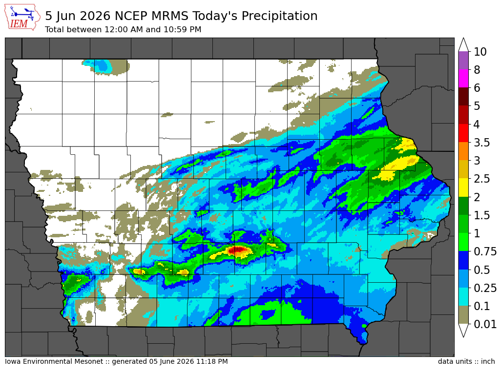
Soil Temperatures

Data from the Iowa State Soil Moisture Network is found on this website and daily soil temperature averages are used to produce the highlighted analysis.
Current Data
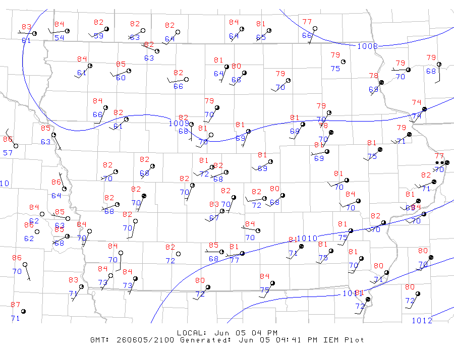
The IEM combines data from participating networks into products like maps shown above and web applications to analyze the data.

More current products »