The Iowa Environmental Mesonet (IEM) collects environmental data from cooperating members with observing networks. The data are stored and made available on this website.

IEM Daily Feature

Weekend Deluge

Posted: 21 Sep 2026 05:30 AM, Views: 1691
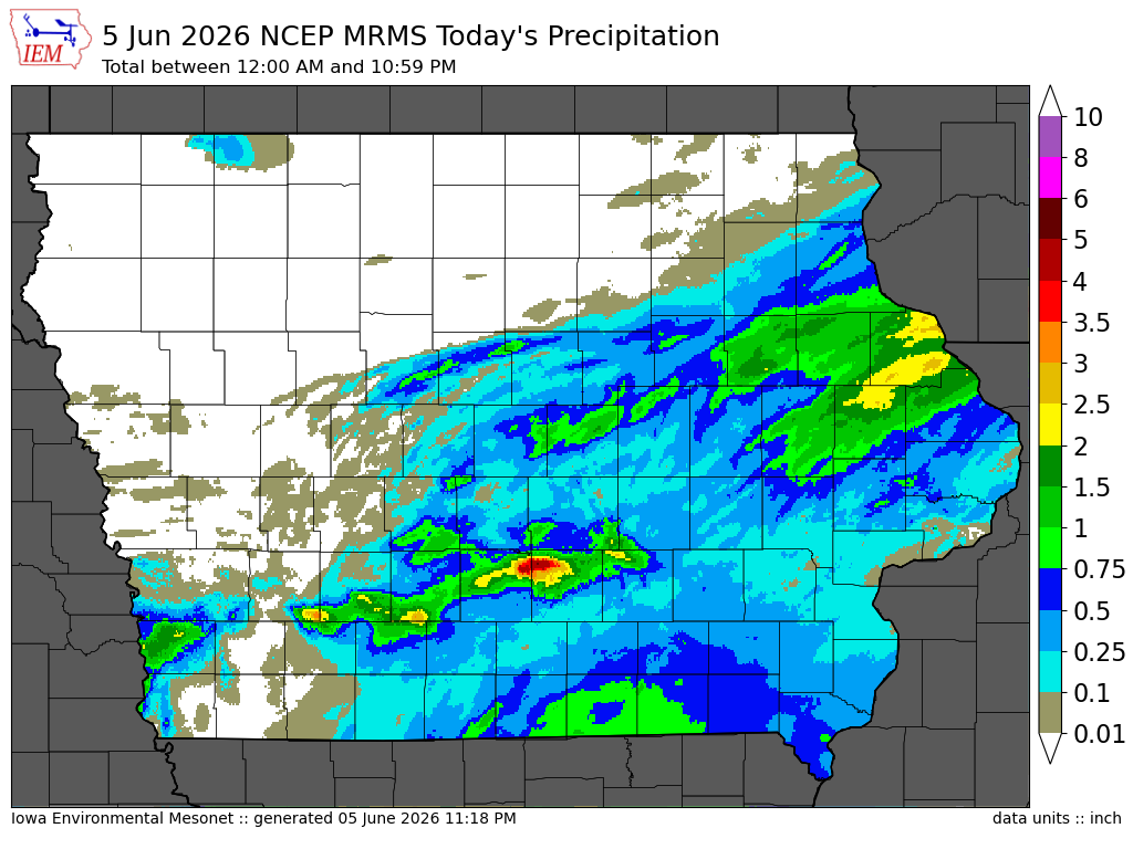
The parade of heavy rainfall events this September continued over this past weekend with the highest totals found over eastern Iowa. The featured map presents the combination of NOAA MRMS 48 hour estimates ending 7 AM Sunday with available NWS and CoCoRaHS reports overlaid. There are a number of stripes of rainfall ranging between five and seven inches. Thankfully while more rain is in the forecast, intense totals like those plotted do not appear possible. Temperatures will be cooler as well and much more fall like. A side note that unfortunately an IEM plotting tool does not yet exist to generate maps like the featured one today.
Feature
Rate Feature

Previous Years' Features
Solon, IA Webcam:
News Items  

5 Sep NWS Data Outage
Posted: 5 Sep 2:03 PM

4 Sep ISU Network Issue [resolved]
Posted: 4 Sep 11:03 AM

12 Aug Service Degradation [resolved]
Posted: 12 Aug 6:13 AM

MRMS Archive Downsizing
Posted: 9 Aug 4:15 PM

26-27 July 2026 Record Dew Points
Posted: 27 Jul 8:08 PM

Sign up for the Daily Bulletin

Current Website Performance:
Bandwidth: 68.2 MB/s
Total Website: 3,565 req/s
API/Data Services: 251.9 req/s
API Success: 100%

Soil Temperatures

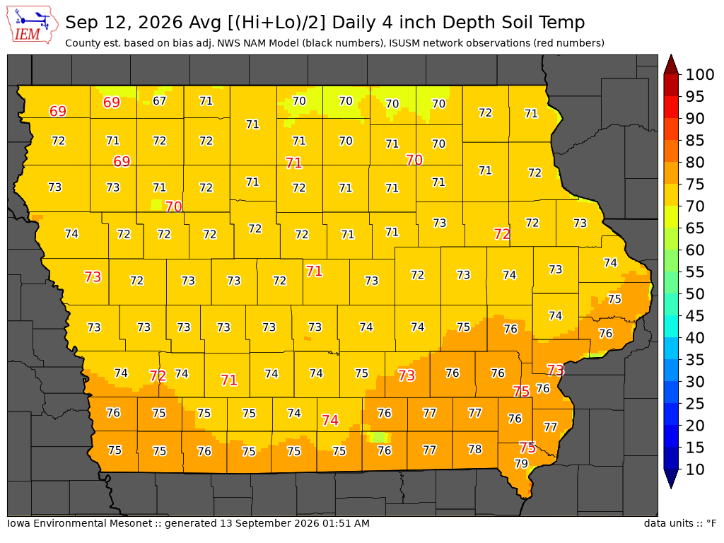
Data from the Iowa State Soil Moisture Network is found on this website and daily soil temperature averages are used to produce the highlighted analysis.
Current Data
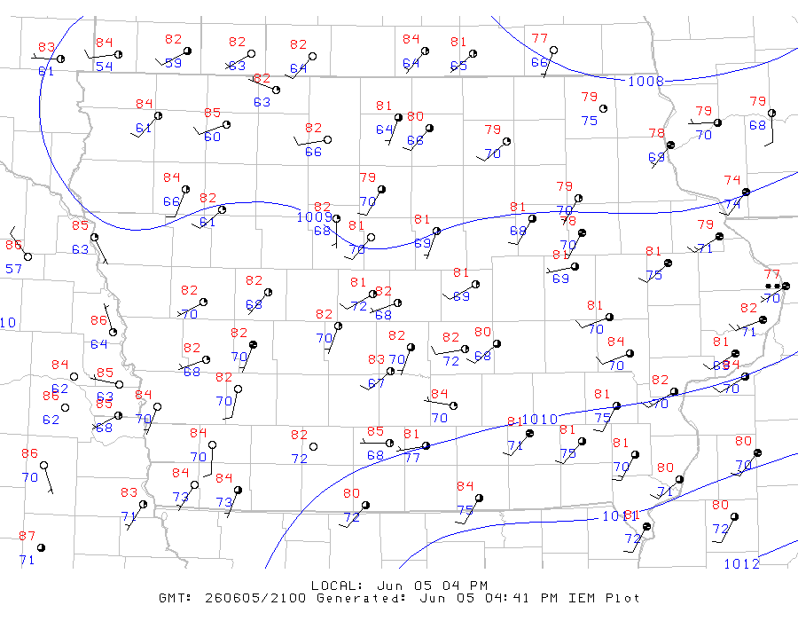
The IEM combines data from participating networks into products like maps shown above and web applications to analyze the data.

More current products »