The Iowa Environmental Mesonet (IEM) collects environmental data from cooperating members with observing networks. The data are stored and made available on this website.

IEM Daily Feature

Flash Flood Warning Ranks

Posted: 21 Aug 2026 05:30 AM, Views: 697
The featured map presents an unofficial IEM accounting of the 2026 rank for issuance of Flash Flood Warnings by National Weather Service Forecast Office. A value of "1" would indicate the fewest on record for the year to date period since at least 2002. A value of "25" would indicate the most over this same period. The map shows some interesting juxtapositions of a quiet vs a very active year. Much of the eastern half of the corn belt has seen plenty of heavy rainfall events and thus Flash Flood Warnings. The drier areas over the upper Midwestern states is readily seen. The near term forecast does not show much for heavy precipitation events over the coming week, which would be a welcome break for areas current experiencing flooding, but problematic for those needing rain to help maturing crops reach yield potential.
Rate Feature

Previous Years' Features
Avoca I-80 E&W Bound Decks, IA Webcam:
News Items  

12 Aug Service Degradation [resolved]
Posted: 12 Aug 6:13 AM

MRMS Archive Downsizing
Posted: 9 Aug 4:15 PM

26-27 July 2026 Record Dew Points
Posted: 27 Jul 8:08 PM

ISU Network Outage [resolved]
Posted: 12 May 11:06 PM

1 April IEM Outage [resolved]
Posted: 2 Apr 10:55 AM

Sign up for the Daily Bulletin

Current Website Performance:
Bandwidth: 59.5 MB/s
Total Website: 2,389 req/s
API/Data Services: 150.1 req/s
API Success: 100%

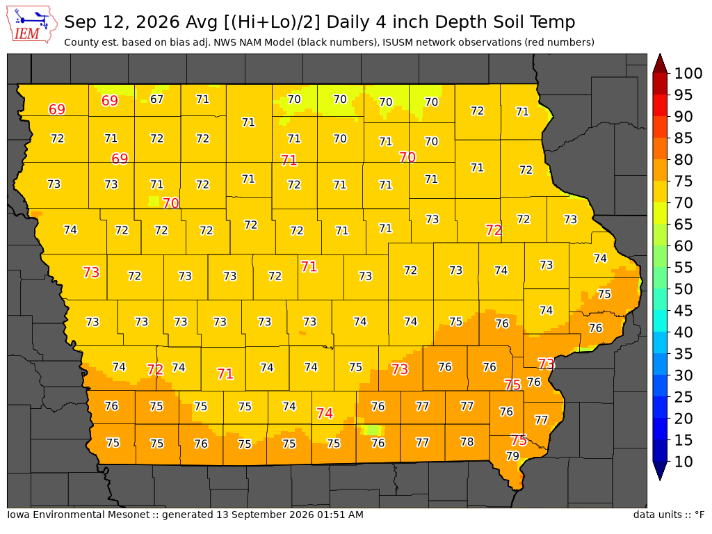
Soil Temperatures

Data from the Iowa State Soil Moisture Network is found on this website and daily soil temperature averages are used to produce the highlighted analysis.
Current Data
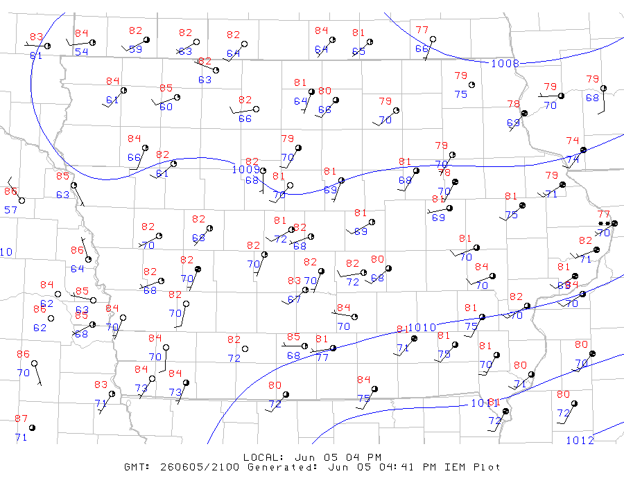
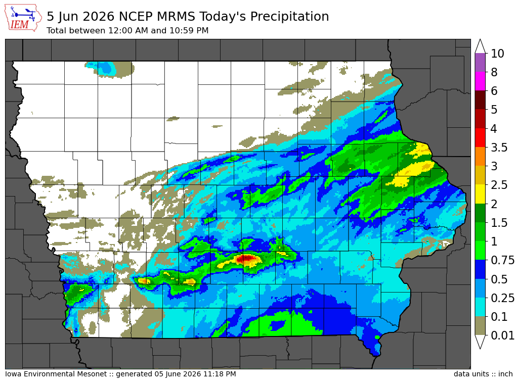
The IEM combines data from participating networks into products like maps shown above and web applications to analyze the data.

More current products »