Info-circleInformation ClockLast Ob CameraPhotographs Graph-upMeteogram TableNetwork Table PeopleNeighbors Calendar-monthMonthly Summaries Clock-historyObservation History Diagram-3Wind Roses Diagram-3Custom Wind Roses CalendarData Calendar CloudSatellite Cloud Product DownloadDownload CloudTerminal Aerodome Forecast
| Oct 2026 | Nov 2026 | Dec 2026 | ||||
|---|---|---|---|---|---|---|
| Sunday | Monday | Tuesday | Wednesday | Thursday | Friday | Saturday |
| 01 High: 66.2 Low: 46.4 Precip: M Avg Wind: SE @ 3.4 RH% Min/Max: 64-100 Feel Min/Max: 45 to 66 | 02 High: 55.4 Low: 55.4 Precip: M RH% Min/Max: 94-94 Feel Min/Max: 55 to 55 | 03 Precip: M | 04 | 05 | 06 | 07 |
| 08 | 09 | 10 | 11 | 12 | 13 | 14 |
| 15 | 16 | 17 | 18 | 19 | 20 | 21 |
| 22 | 23 | 24 | 25 | 26 | 27 | 28 |
| 29 | 30 | 01 | 02 | 03 | 04 | 05 |
The data presented here provided by IEM API webservice: daily.json. A simple CSV option exists as well.
Daily High/Low Plot
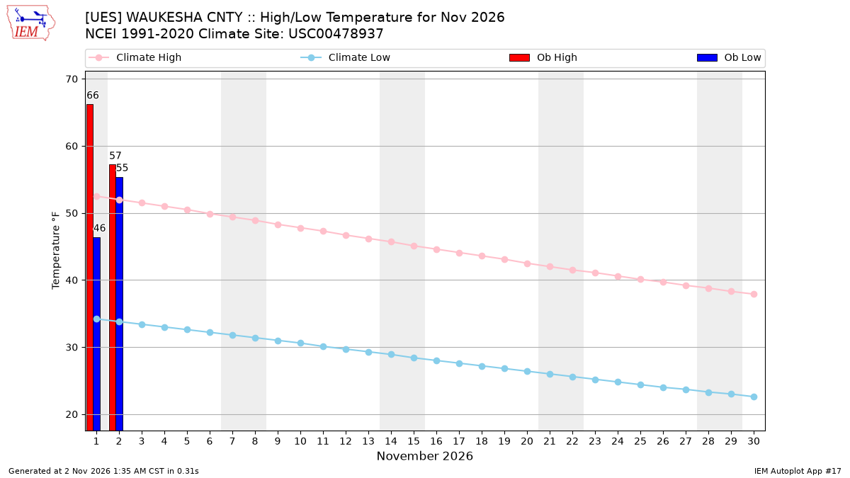
Description: This chart of the monthly temperature data. The bars are the observations and the dots are climatology.
Daily Rainfall
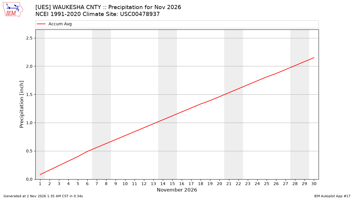
Description: This chart is of daily precipitation for the month. The red line would be an average month while the blue line and bars are observations.
Daily Average Wind Speeds
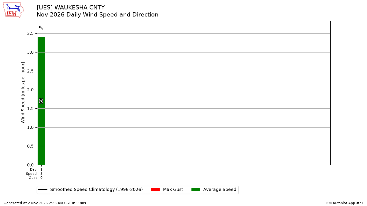
Description: This chart is of the daily average wind speeds.
The data presented here provided by IEM API webservice: daily.json. A simple CSV option exists as well.