The Iowa Environmental Mesonet (IEM) collects environmental data from cooperating members with observing networks. The data are stored and made available on this website.

IEM Daily Feature

Summer Severe Storm Motions

Posted: 10 Aug 2026 05:30 AM, Views: 1594
Severe storms impacted eastern Iowa Friday afternoon producing an EF2 Tornado near Fairbank and damaging winds elsewhere. When the National Weather Services issues Severe Thunderstorm and Tornado Warnings for such storms, the warnings contain an estimate of storm speed and direction of travel. The featured chart presents such storm motion estimates from NWS Davenport during the summer months of June, July, and August (JJA). The warnings from Friday are highlighted with the red crosses. The blue lines attempt to show where the most frequent combinations of storm speed and motion reside. The bullseye appears to be somewhere near a storm motion from the west around 40 MPH. You can generate this chart for other months of the year and compare how the storm motion changes during the year.
Rate Feature

Previous Years' Features
Denison, IA Webcam:
News Items  

MRMS Archive Downsizing
Posted: 9 Aug 4:15 PM

26-27 July 2026 Record Dew Points
Posted: 27 Jul 8:08 PM

ISU Network Outage [resolved]
Posted: 12 May 11:06 PM

1 April IEM Outage [resolved]
Posted: 2 Apr 10:55 AM

Tracking TAF Amendments
Posted: 13 Feb 10:28 AM

Sign up for the Daily Bulletin

Current Website Performance:
Bandwidth: 49.2 MB/s
Total Website: 3,120 req/s
API/Data Services: 199.4 req/s
API Success: 100%

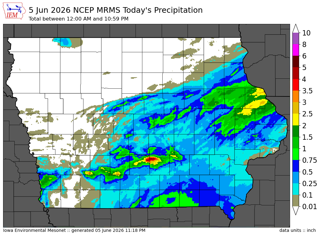
Soil Temperatures

Data from the Iowa State Soil Moisture Network is found on this website and daily soil temperature averages are used to produce the highlighted analysis.
Current Data
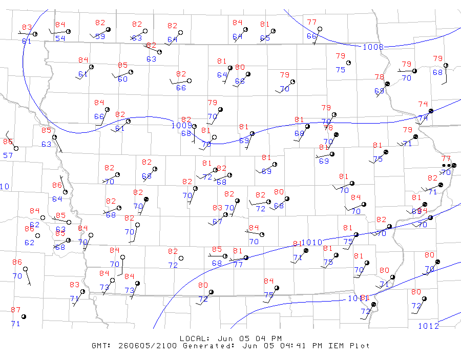
The IEM combines data from participating networks into products like maps shown above and web applications to analyze the data.

More current products »