The Iowa Environmental Mesonet (IEM) collects environmental data from cooperating members with observing networks. The data are stored and made available on this website.

IEM Daily Feature

Iowa Max Dew Points

Posted: 27 Jul 2026 05:30 AM, Views: 424
Sunday was incredibly hot and humid over Iowa with afternoon dew point temperatures in the low 80s and air temperatures in the 90s! The featured info-graphic presents IEM computed maximum dew point temperatures on Sunday along with period of record maximums based on unofficial IEM archives of NOAA/NWS data. There are many caveats to this type of analyses as true daily maximum dew point temperatures are not something officially reported nor curated by the NWS. The long term archive is based on mostly hourly reports. Additionally, stations have changed instrumentation, observation techniques, and local surrounding vegetation over the years. All of these items make period of record comparisons problematic. This graphic also is limited to the long term airport sites that are federally maintained. You may have seen other reports about Iowa denoting dew point readings reaching 90°F at state maintained airport stations on Sunday. These values are very likely in error. So having said all of that, three of the listed sites (Ames, Burlington, and Ottumwa) hit period of records on Sunday. Monday will be another very hot and humid day, but hopefully a few degrees less humid than Sunday!
Feature
Rate Feature

Previous Years' Features
West Exit, IA Webcam:
News Items  

ISU Network Outage [resolved]
Posted: 12 May 11:06 PM

1 April IEM Outage [resolved]
Posted: 2 Apr 10:55 AM

Tracking TAF Amendments
Posted: 13 Feb 10:28 AM

IEM Archival Update
Posted: 24 Sep 11:07 PM

TAF Archive Fixes
Posted: 22 Aug 7:28 AM

Sign up for the Daily Bulletin

Current Website Performance:
Bandwidth: 76.4 MB/s
Total Website: 4,383 req/s
API/Data Services: 358.1 req/s
API Success: 100%

Soil Temperatures

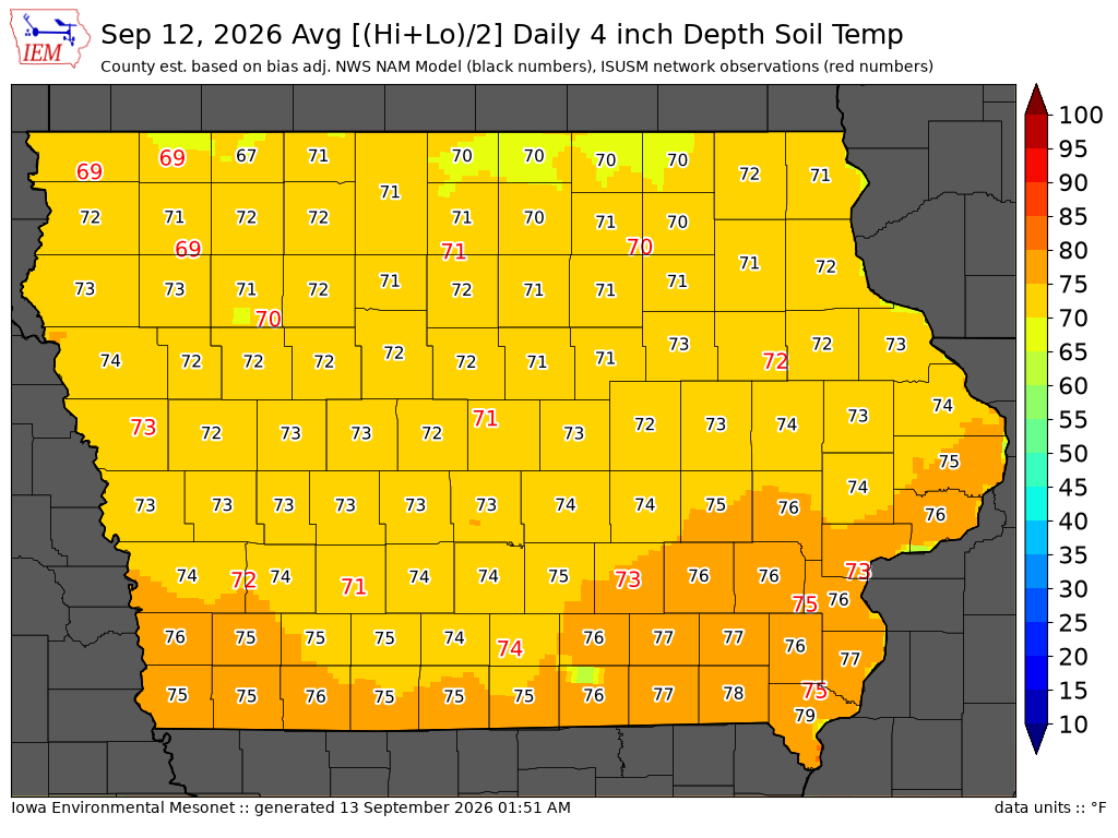
Data from the Iowa State Soil Moisture Network is found on this website and daily soil temperature averages are used to produce the highlighted analysis.
Current Data
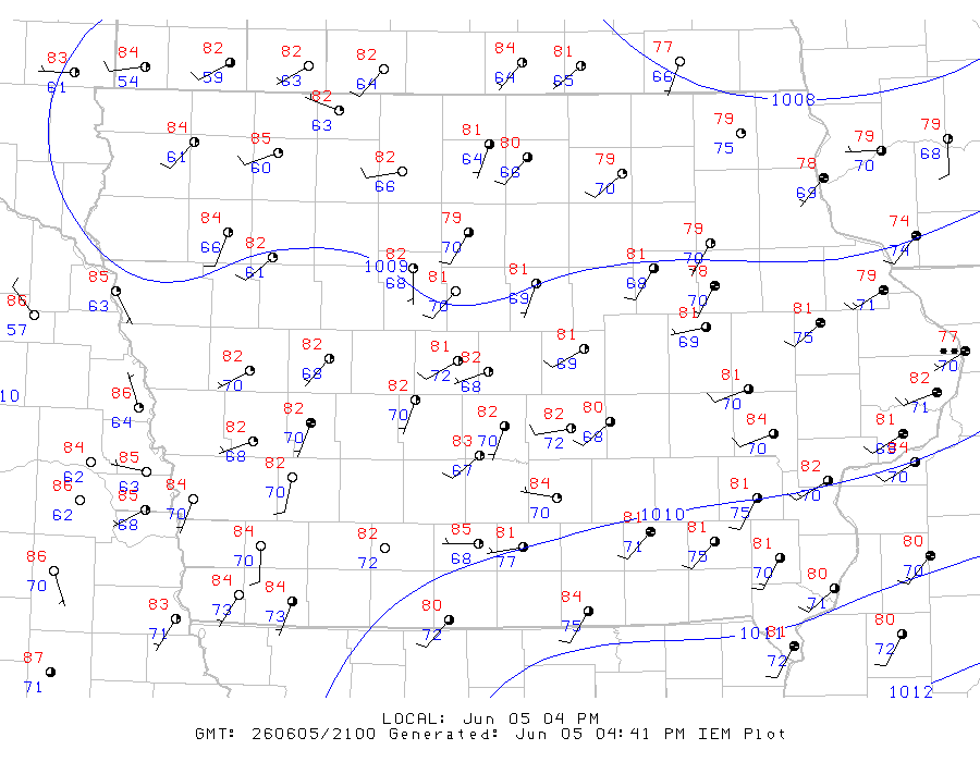
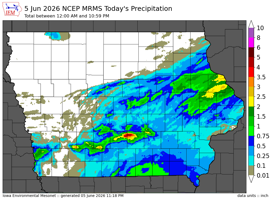
The IEM combines data from participating networks into products like maps shown above and web applications to analyze the data.

More current products »