The Iowa Environmental Mesonet (IEM) collects environmental data from cooperating members with observing networks. The data are stored and made available on this website.

IEM Daily Feature

Record High Heights

Posted: 15 Jul 2026 05:30 AM, Views: 513
A surface high pressure system and associated upper level ridge have been in firm control over Iowa's weather these past few days with hardly a cloud in the sky. Unfortunately, very hot and dry air have lead to numerous wildfires over northern Minnesota and into Canada. This "heat dome" system, as it is sometimes colloquially called, has been impressively strong. During the warm season, one measure of its strength can be found by the maximum height of the 500 hPa pressure surface. Due to the ideal gas law, a very warm lower atmosphere will vertically "push" the height of a pressure surface further away from the ground. Meteorologists like to consider a height of 6 kilometers has an impressive height for the 500 hPa pressure to be found. And that finally brings us to the subject of today's featured chart. The chart presents the 2026 observed heights and period of record ranges of the 500 hPa surface as recorded from the Minneapolis sounding. The monthly max and min values are labelled. The sounding from Monday evening (00 UTC 14 July) came in at 6,010 meters, which according to unofficial IEM archives is the highest height on record for the site. Typically, these very strong "heat domes" happen further south and particularly southwest with 6km heights happening a few times per year.
Rate Feature

Previous Years' Features
Saratoga, IA Webcam:
News Items  

ISU Network Outage [resolved]
Posted: 12 May 11:06 PM

1 April IEM Outage [resolved]
Posted: 2 Apr 10:55 AM

Tracking TAF Amendments
Posted: 13 Feb 10:28 AM

IEM Archival Update
Posted: 24 Sep 11:07 PM

TAF Archive Fixes
Posted: 22 Aug 7:28 AM

Sign up for the Daily Bulletin

Current Website Performance:
Bandwidth: 64.0 MB/s
Total Website: 3,957 req/s
API/Data Services: 273.9 req/s
API Success: 100%

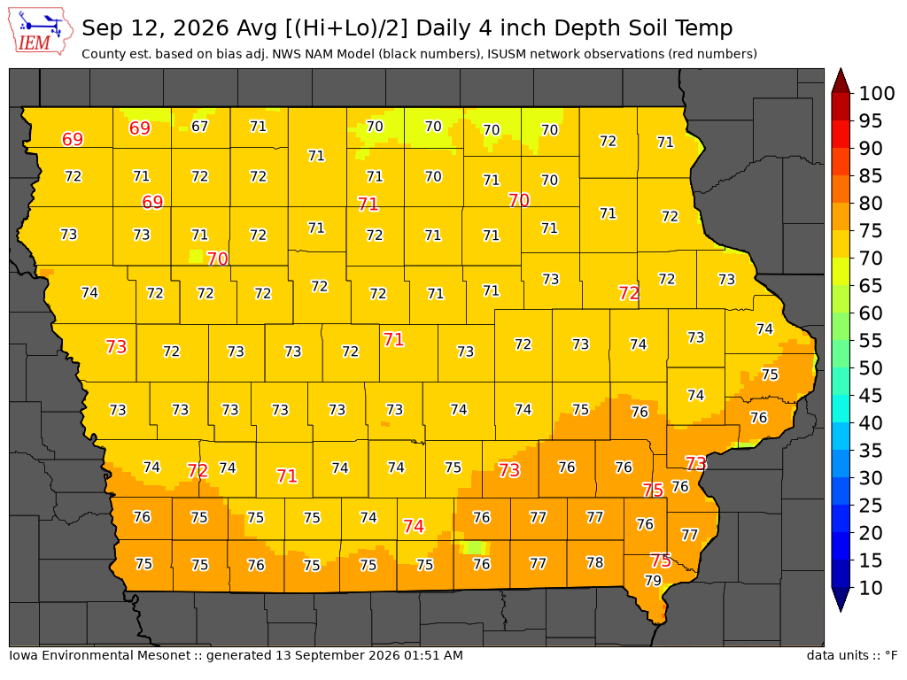
Soil Temperatures

Data from the Iowa State Soil Moisture Network is found on this website and daily soil temperature averages are used to produce the highlighted analysis.
Current Data
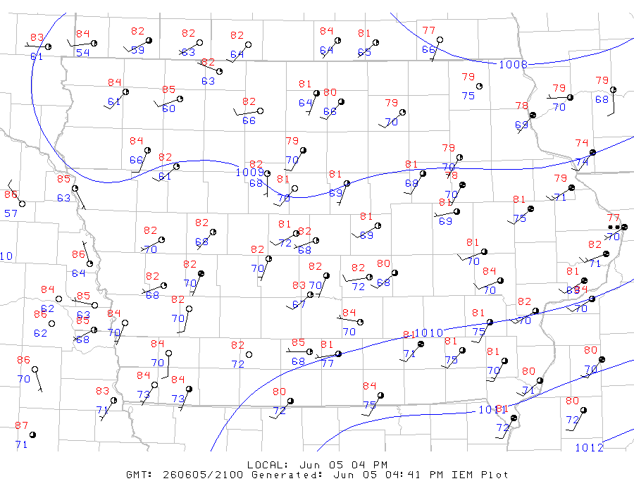
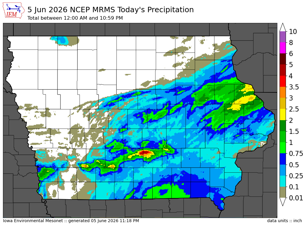
The IEM combines data from participating networks into products like maps shown above and web applications to analyze the data.

More current products »