The Iowa Environmental Mesonet (IEM) collects environmental data from cooperating members with observing networks. The data are stored and made available on this website.

IEM Daily Feature

NEXRAD Latency

Posted: 13 Jul 2026 09:58 PM, Views: 151
The IEM processes a near real-time feed of National Weather Service NEXRAD (RADAR) Level II and Level III products. The Level II data is then made available on a simple website built for a number of radar display software programs to easily use. The Level III data is processed into a number of products, including mosaics and single site imagery. The featured map is a Monday evening snapshot of some internal IEM monitoring to ensure the data feed is performing as expected. All of the sites are shown in the green (green is good) with low latencies. The NWS has a very nice monitoring page as well, for those of you interested in such things!
Rate Feature

Previous Years' Features
Sibley, IA Webcam:
News Items  

ISU Network Outage [resolved]
Posted: 12 May 11:06 PM

1 April IEM Outage [resolved]
Posted: 2 Apr 10:55 AM

Tracking TAF Amendments
Posted: 13 Feb 10:28 AM

IEM Archival Update
Posted: 24 Sep 11:07 PM

TAF Archive Fixes
Posted: 22 Aug 7:28 AM

Sign up for the Daily Bulletin

Current Website Performance:
Bandwidth: 59.0 MB/s
Total Website: 2,618 req/s
API/Data Services: 226.3 req/s
API Success: 100%

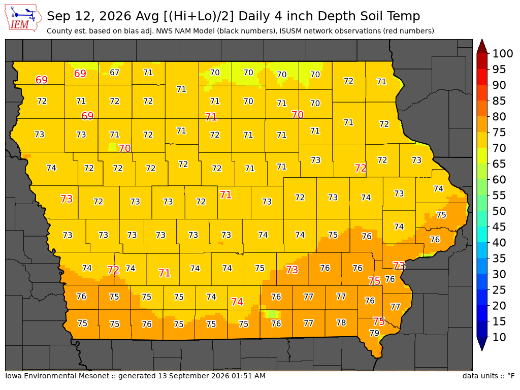
Soil Temperatures

Data from the Iowa State Soil Moisture Network is found on this website and daily soil temperature averages are used to produce the highlighted analysis.
Current Data
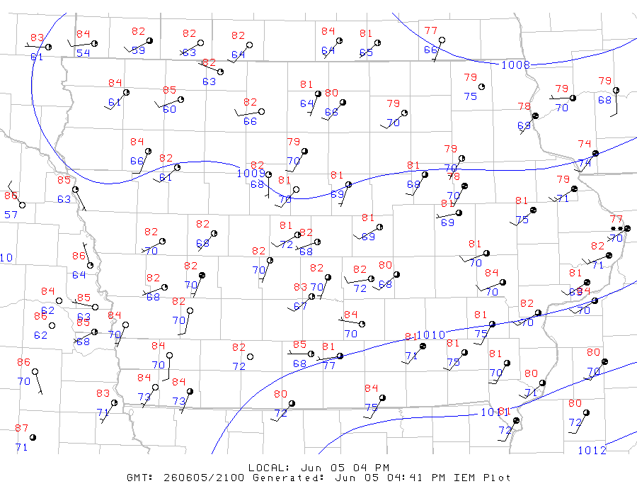
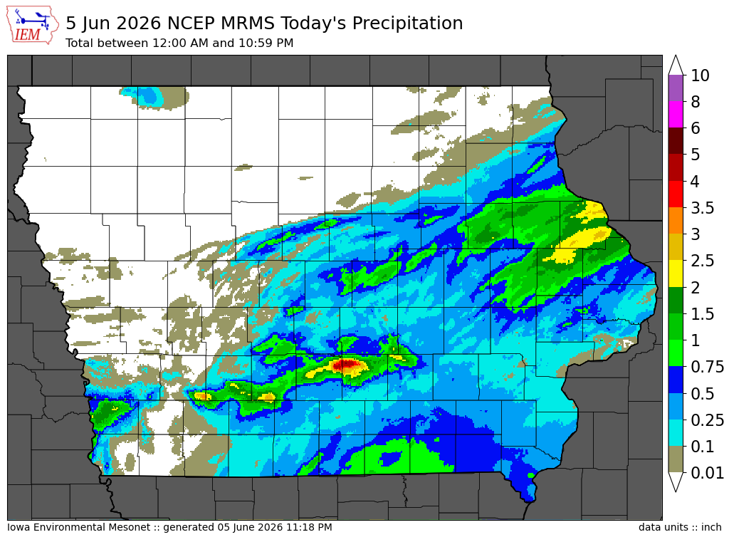
The IEM combines data from participating networks into products like maps shown above and web applications to analyze the data.

More current products »